stremke-archeology.net
stremke-archaeology offers a wide range of archaeology related surveying techniques and technologies.
Originally starting with theodolite survey and single image photogrammetry the survey section was constantly expanded by specialised training and new equipment.
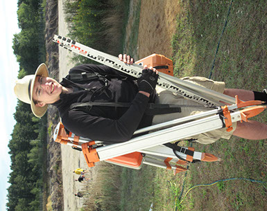
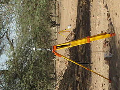
Terrestrial survey
Building on the core business and further developing skills it is now possible to offer all major forms of terrestrial survey, including:
- Planing creation and description of survey monuments of different classes
- Creating,surveying,maintaining and documenting local networks
- Polar point and shape survey in excavation context
- Topographical survey
- Traverses and connections to local and national grids
- Precision levelling
- Trigonometric networks
- Trilateration networks
- Combination with GNSS survey
- Defining local geoid shape
- Celestial positioning and recalculation of old survey data
- Traverses, point and shape survey in Mining environments and indoors
- Photogrammetry ground control
- Stake out
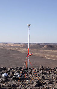
GNSS Survey
Starting with a simple GPS Hand-held receiver in 1999 I constantly added new equipment and processing software. The aim is to have flexible systems which work alone or in combination with terrestrial survey. The skill set has been increased along with the equipment by specialised training. I now operate single and dual frequency receivers for all major GNS systems including GPS and GLONASS.
- Precise point positioning (independent
worldwide mm level accuracy to fix local grid) - Creating,surveying,maintaining and documenting
local networks, connect different local networks - Point and shape survey
- Topographical survey
- Connections to local / national and global grids
- Combination with terrestrial survey
- Vehicle based terrain survey
- Terrain cross sections
- Coring hole positioning
- Large area photogrammetry ground control survey
- Stake out from local or remote sensing data
- Compensation for plate tectonic movements
Photogrammetry
Already during my university time I had the chance to work with photogrammetry techniques extensively. This was later carried on and was refined as a valuable tool for booth field work and finds processing. In cooperation with my clients I was able to introduce photogrammetry into many archaeological projects. This started with traditional single image rectification and differential orthorectification and is now mostly done by multi image photogrammetry (structure from motion).
This part of the survey techniques can be divided into two parts:
Close range photogrammetry
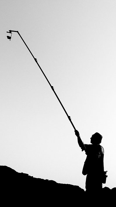
- Objects and smaller areas using hand-held and pole photography
- Indoors and in mines and quarries
- Under water
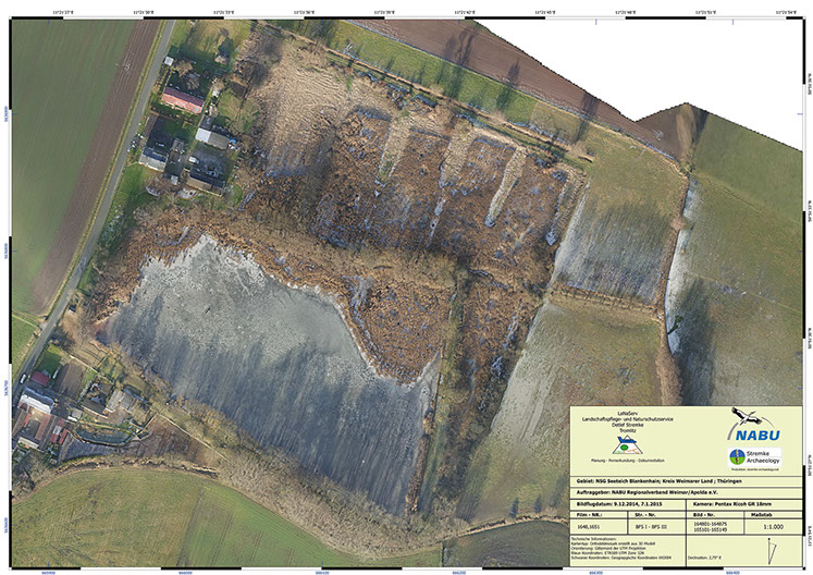
Aerial photogrammetry
- Objects of larger areas ranging from trench scale to 100km2
- Photography done by UAV or kite as well as manned plane or satellite
- Stereoscopy and 3D surveying using archival data
These techniques are usually combined with terrestrial and GNSS survey to provide ground control and referencing. The output of photogrammetry work can be tailored to the clients needs. Possible output formats include:
- Geo referenced ortho image
- Digital surface or digital terrain model
- Processed photomap
- Vector drawing (completely proceed map)
- Point cloud
- 3D model in various formats
- 3D pdf files
- Web based 3D model, point cloud or orthophoto representation
- Ortho rectified single imagery
- Original imagery and data of interior and exterior orientation for further processing
stremke-archaeology provides customers with state of the art survey and documentation solutions for archaeological projects worldwide